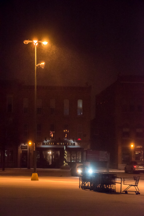
It's cold all over
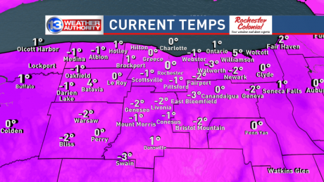
Pretty amazing weather graphic from our news partner, 13WHAM. For more weather coverage for 13WHAM, click here.

Pretty amazing weather graphic from our news partner, 13WHAM. For more weather coverage for 13WHAM, click here.
An urgent winter weather message -- a wind chill warning -- was issued within the last hour by the National Weather Service in Buffalo and it will remain in effect until 10 a.m. Sunday, Feb. 14.
The affected area includes Genesee County and specifically the City of Batavia.
Winds are predicted to blow northwesterly from 15 to 25 mph with gusts up to 35. Wind chill values could dip as low as 30 below.
Wind chills and termperatures will reach dangerously cold levels. These frigid conditions could result in frozen pipes and will quickly lead to frostbite and hypothermia if you are not properly dressed.
A wind chill warning is issued when a strong wind will combine with cold termperatures to create dangerously cold conditions for exposed skin. The wind will make it feel like it is 25 degrees below zero or colder for several hours. Those planning to venture outdoors should use common sense and dress warmly, says the weather service.
That snowstorm that may be heading our way, the National Weather Service isn't backing down on the prediction, but they did push back the estimated time of its arrival.
And they added a wind chill watch.
The storm is now expected between 4 a.m. and 10 p.m., tomorrow.
It may bring accumulations of 7 to 14 inches.
The wind chill watch is for late tonight through Sunday morning.
Winds from the west at 10 to 20 mph with gusts up to 35 mph late Friday and Friday night.
Visibility less than a quarter of a mile at times.
Temperatures could drop to zero at times with a wind chill value of 30 below.
Travel conditions could be hazardous.
The forecast confidence remains at medium.
As much as six inches of snow is expected from a storm that may be headed toward Genesee County and could hit sometime between late Thursday night through Friday evening.
The National Weather Service has issued a lake effect snow watch.
Winds will be from the west at 15 to 25 mph with gusts up to 35 mph with visibility as low as a quarter of a mile at times.
Travel conditions could be hazardous with blowing and driving snow.
The forecast confidence is medium.
"There is still some uncertainty in the location and intensity of a band which is expected to develop late Thursday night and Friday," the weather service stated in its alert.
E-mail cancellations to howard@thebatavian.com
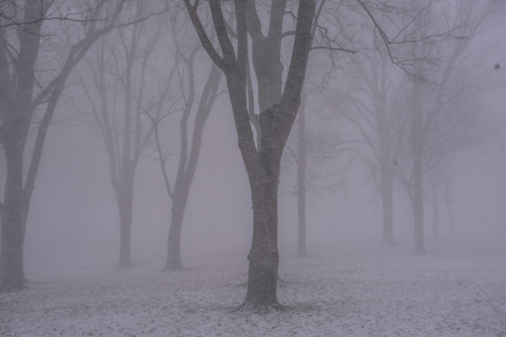
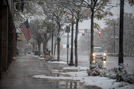
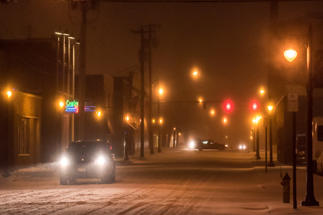
It's cleared now, but about a half hour ago, Batavia got hit by a snow squall that reduced visibility. It was hard to see even more than a few trees deep into Centennial Park.
Forecasts show another band or two of lake effect snow heading our way this afternoon. The National Weather Service is Buffalo has a lake effect snow advisory in place until 10 p.m.
St. Joe's School is closed today because of a heating problem.
For other closures and delays over the next 24 hours or so, e-mail howard@thebatavian.com.
The region could be hit by as much as six inches of lake effect snow Monday, according to the National Weather Service, which just issued a winter weather advisory for noon Monday through 1 a.m., Tuesday.
Western Genesee County is specifically mentioned as an area that could be hardest hit.
At least three inches of heavy, wet snow is expected.
Winds will be out of the west at 10 to 20 mph with gusts up to 35 mph. Visibility will be as little as a half a mile at times.
Meanwhile, heavy winds have moved in and temperatures could drop rapidly this evening, leading to the potential for black ice on roadways. The weather service advises caution if you must travel.
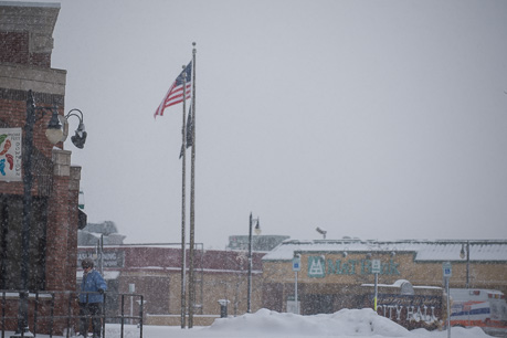
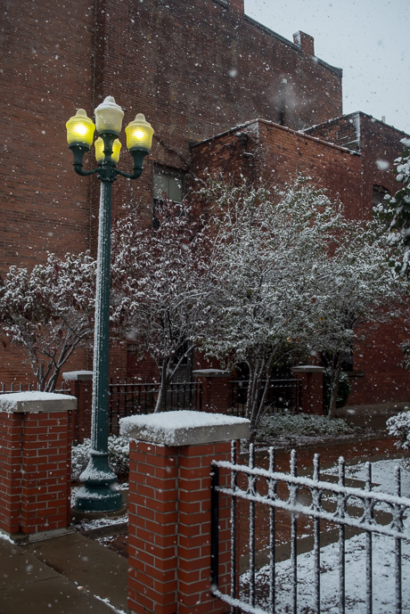
The new year kicked off with something that looked a bit like winter this morning as Batavia got hit by a mild lake effect snowstorm.
We got a bit of snow in Batavia tonight, and it looks like it will keep falling until early morning. Then it's just cold and dreary for the next few days.
A winter weather advisory has been issued by the National Weather Service out of Buffalo for tomorrow evening through Tuesday morning.
The forecast calls for sleet, freezing rain and perhaps snow, from 6 p.m. to 10 a.m..
Snow accumulations up to two inches are possible.
The combination of mixed winter precipitation will likely make untreated surfaces slippery and travel hazardous. Elevated surfaces, such as bridges and overpasses could freeze over.
Ready for some snow?
There's a lake effect snow advisory in effect for tomorrow starting at 1 p.m. and extending to 10 p.m.
There could be accumulations of 2 to 3 inches in the afternoon and another 2 to 3 in the evening, leading to storm totals of 3 to 6 inches in the "most persistent" areas of lake effect snow.
Winds will blow from 15 to 25 mph with gusts up to 35 mph, producing some blowing and drifting snow.
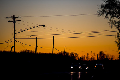
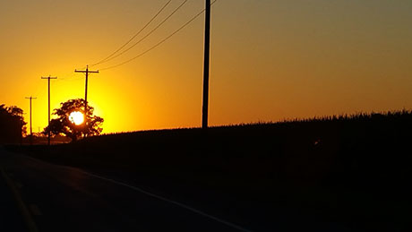
I got back to Genesee County from Batavia's game in Rochester yesterday shortly after sunset.

A storm that may pack a brief period of strong, damaging winds and heavy rain is sweeping across the Great Lakes and heading our way, according to the National Weather Service.
It's expected to reach Genesee County sometime after 10 a.m. and pass through by 11 a.m.
A line of showers is currently tracking over Michigan, according to the statement. It will be moving across the lower Great Lakes this morning and the line continues to mature as it moves east. It has the potential to bring a brief period of strong, damaging winds with a short burst of heavy rain. There is very little chance of thunder with this storm.
NOAA's most recent winter weather outlook predicts that winter in Western New York will be warmer than average, while there is an equal chance of precipitation being above or below average. The weather outlook is about probability and averages. It doesn't address the likelihood, or not, of significant storms.
Nancy Gilmartin shared this photo with us today.
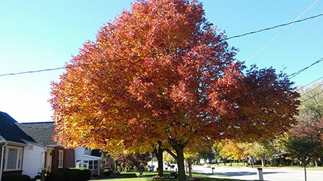
Reader Brian Wilson submitted this photo and noted today is the first day of Fall.
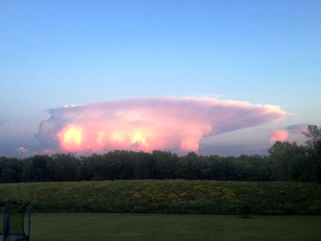
Corey Reigle shared this photo of a unique cloud formation he spotted in Darien.
A flash flood watch has been issued for the area for Thursday and Thursday night with a storm system moving in capable of dropping copious amounts of rain.
The weather service calls it an unusually strong storm that will produce numerous showers and thunderstorms. Torrential downpours are possible resulting in significant localized rainfalls.
A slow-moving cold front within a subtropical airmass is crossing Western New York tomorrow, creating the conditions for downpours throughout the area.
Excessive runoff from the rain could flood small streams and creeks and pour drainage in areas could cause flooding. The weather service advises people to get to higher ground should there be prolonged heavy rain in areas with flooding potential.
Copyright © 2008-2022 The Batavian. All Rights Reserved. Privacy Policy | Terms of Service
![]()